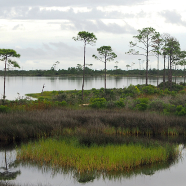
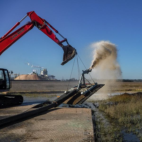
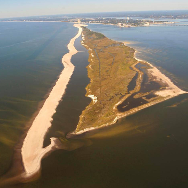
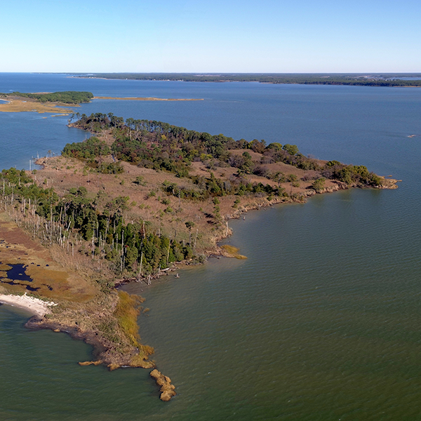
Legacy Site Restoration
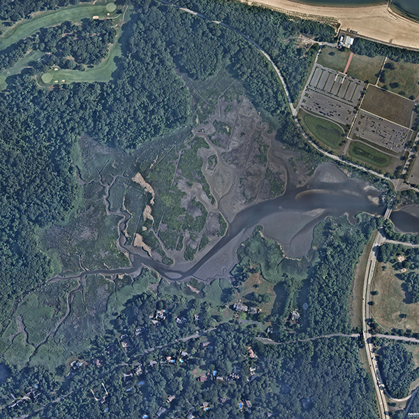
Brunswick, Georgia
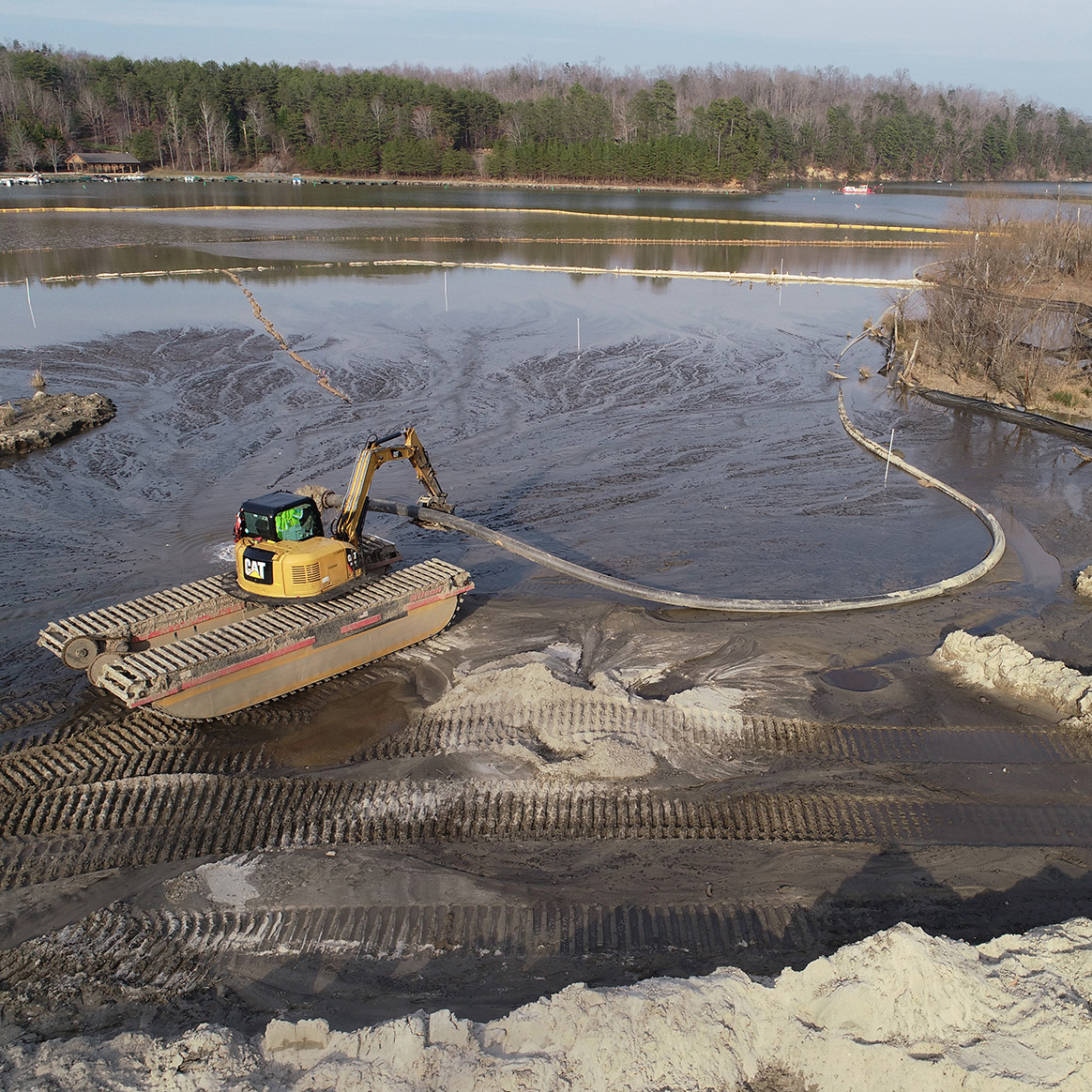
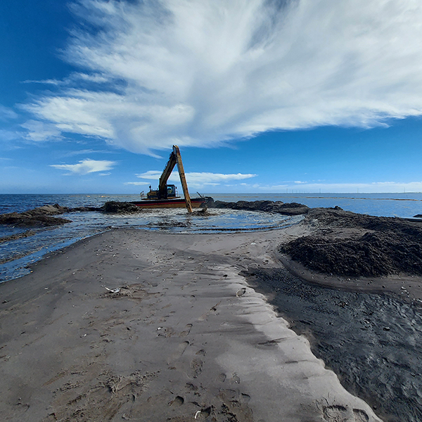
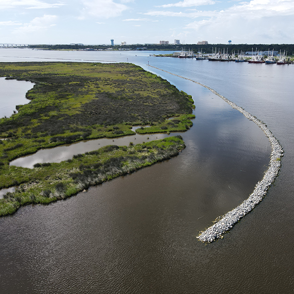
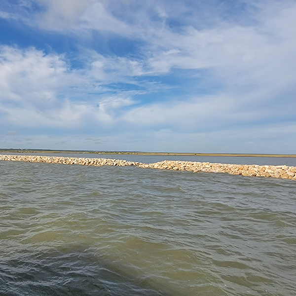
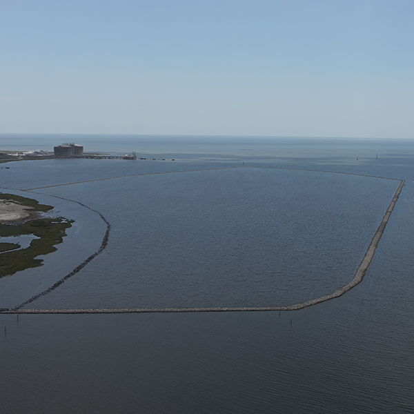
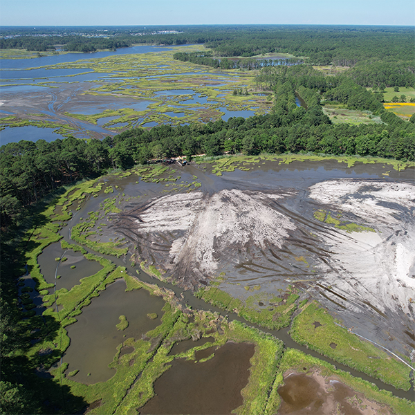
For this first large-scale, thin-layer cover (TLC) placement project in North America, Anchor QEA worked with Honeywell, the U.S. Environmental Protection Agency (USEPA), and the State of Georgia to conduct site investigations, engineering design, and implementation of a restoration plan to remediate the 24-acre marsh system that was historically impacted by PCBs, PAHs, mercury, lead, and dioxins.
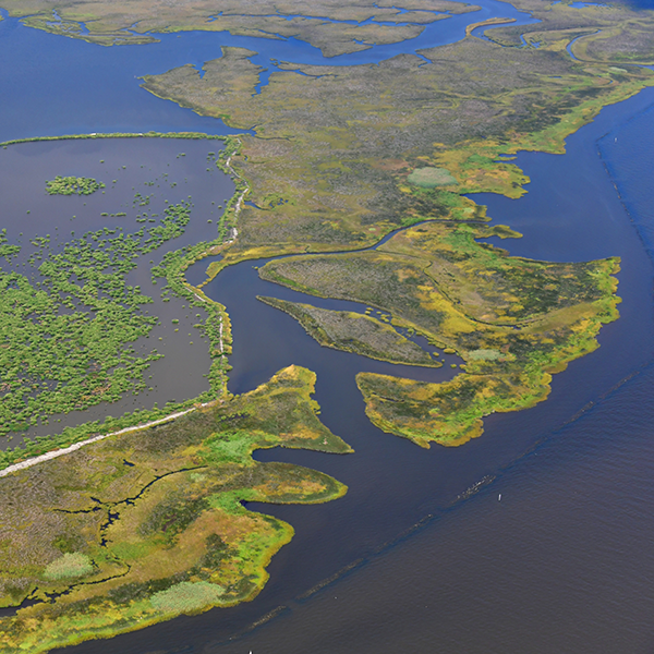
Three years after the pilot study and full-scale project design, permitting, and construction were completed, monitoring showed the marsh areas that received the TLC are demonstrating vigorous natural vegetative recolonization and recovery.


.png)